Tontitown study
The Office of the State Geologist has begun its geologic and groundwater study in a small area around Tontitown as directed by the Secretary of the Department of Energy and Environment.
Project Study Process and Steps
- Create a comprehensive geo-database and geological map of the study area.
- Conduct geologic mapping of springs, sinkholes, and natural fractures in the rock.
- Research the area for surface and groundwater sampling locations.
- Schedule water sampling for seasonal impacts.
- Compile data for analysis, report, and map preparation.
This study will utilize and build on previous data collected from other state, federal, and private sector organizations to improve knowledge of the local geology. This will help to better understand how geologic features affect groundwater flow in the study area. OSG is tentatively scheduled to conclude its study by January 2026, followed by a final report on its findings.

Study Location and Details
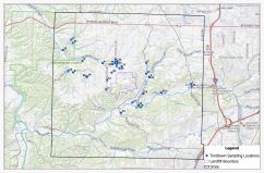
The study will cover a portion of Washington County. The northern boundary starts approximately half a mile north of Hwy 412 and extends southward to Hamestring Creek. The western boundary borders the University of Arkansas Agricultural Experiment Station and extends eastward to Greathouse Spring.
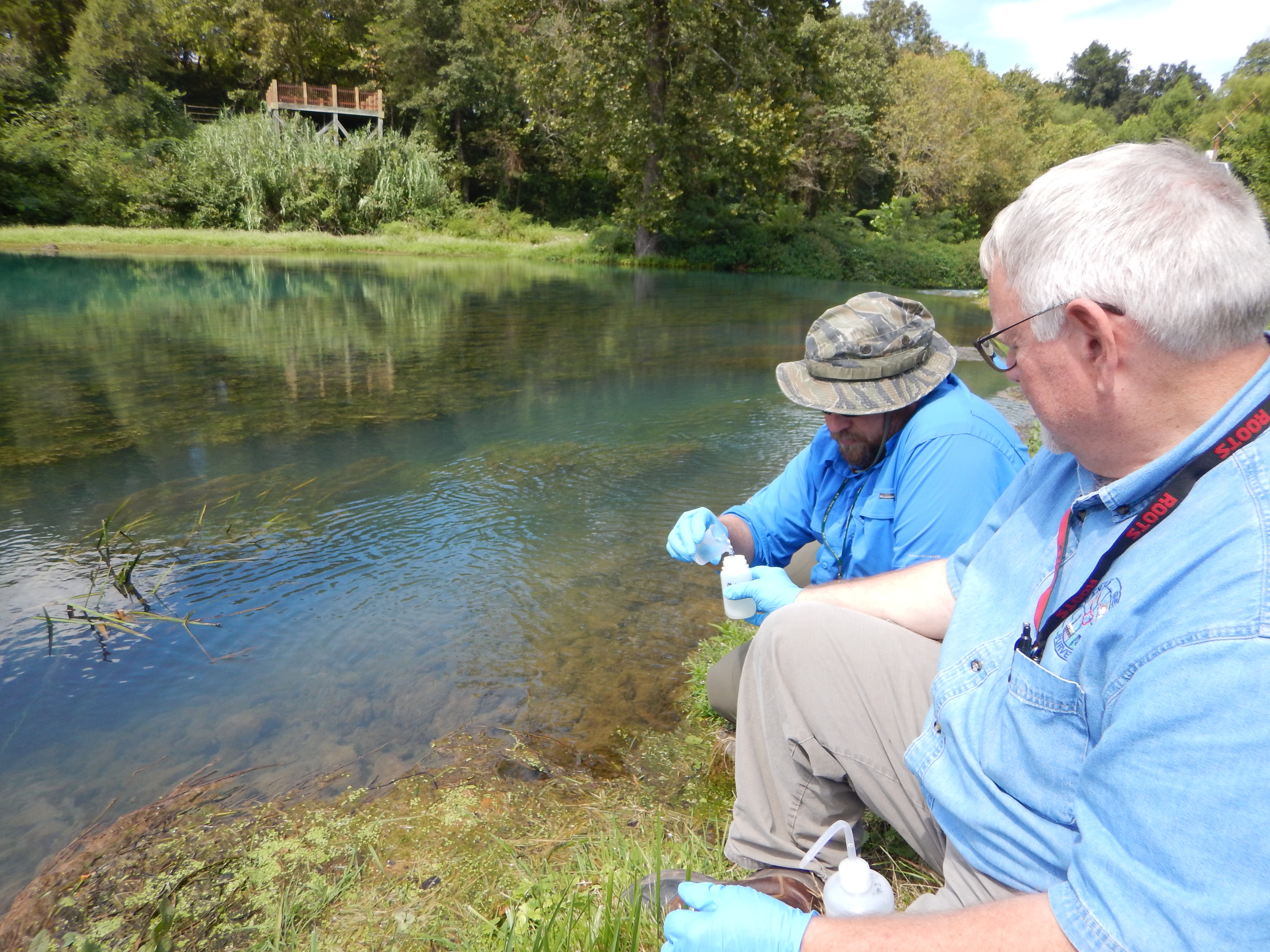
Geologists from OSG will be on-site throughout the area to conduct geological mapping and collect samples. In order to effectively survey and analyze this area, the geologists will need access granted to various locations and the cooperation of residents.
To request water testing of your spring or well, please contact:
| Camille Gernhart | camille.gernhart@arkansas.gov | (501) 683-0117 |
| David Johnston | david.johnston@arkansas.gov | (501) 683-0126 |

