Arkansas's Geological Mapping Program
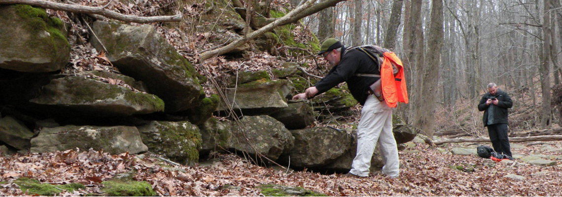
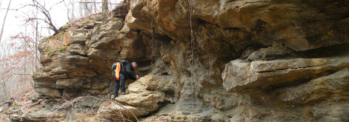
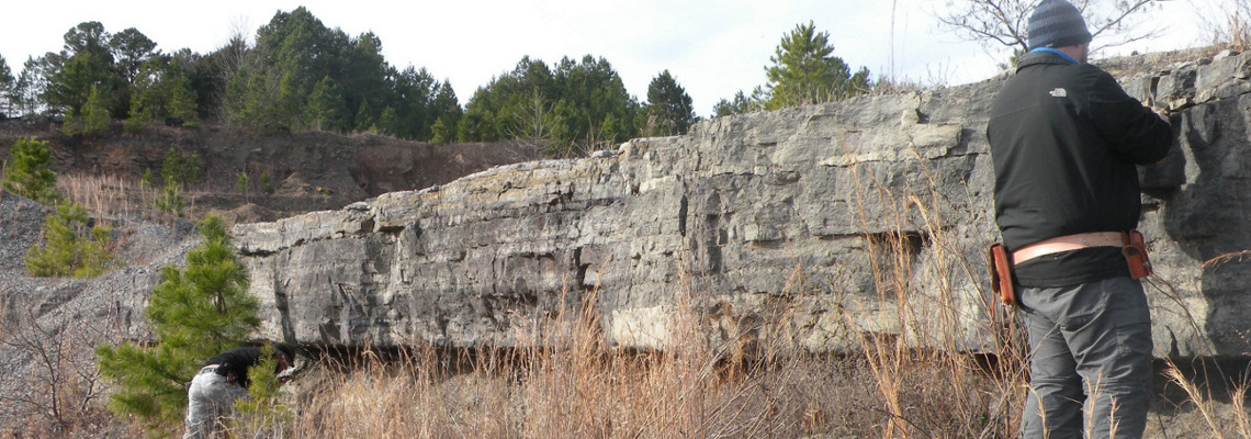
The Office of the State Geologist (OSG), previously the Arkansas Geological Survey, has been conducting geologic mapping since the late 1800’s. The first Geologic Map of Arkansas was produced by H.D. Miser and published by the U.S. Geological Survey in 1929. In the 1960’s, the agency was involved with statewide field mapping, resulting in publication of the 1976 Geologic Map of Arkansas (revised 1993). The OSG continues to coordinate with other agencies for supplemental funds for mapping. Starting in the late 1980’s the OSG remapped the Ouachita Mountains through a Cooperative Geologic Mapping Program with the USGS and Oklahoma called COGEO. In the mid 1990’s, the OSG began geologic mapping at a 1:24,000 scale through the STATEMAP Program under the U. S. Geological Survey’s National Cooperative Geologic Mapping Program. In 2019 the OSG began geologic mapping through the Earth Mapping Resources Initiative (EMRI).
STATEMAP
The STATEMAP Program provides matching funds for completion of maps in various parts of the state. The first STATEMAP mapping was done in the Cretaceous part of the state. Since 2001, geologic mapping has been ongoing in the Ozarks.
Click here for quadrangles mapped in the Cretaceous part of the state.
Click here for quadrangles mapped in north-central Arkansas.
Digital compilations at the 1:100,000 scale were produced in areas of Arkansas where previous mapping for STATEMAP produced digital maps at a 1:24,000 scale.
EMRI
The Earth Mapping Resources Initiative (EMRI) goal is to identify areas that have the potential to contain undiscovered critical mineral resources. Click here for a list of minerals that are considered critical by the USGS. Click here for information on Arkansas critical minerals.
The OSG’s first EMRI project focused on Rare Earth Elements which were considered the first critical minerals of interest to the U.S. In 2022, the OSG completed two Geologic maps of the Batesville Manganese District and surrounding area ( West Part, East Part ) focusing on the Cason Formation since it contains phosphate and rare earth elements.
Geochemical analyses were conducted on samples collected during the mapping period and are available here. Geochemical analyses from other sandstone units outside of the Batesville Manganese District are available here.
The OSG was awarded a second Cooperative Agreement to map the area of the state known as the northern Arkansas Mississippi Valley-Type (MVT) mineral district which contains the critical minerals zinc and lead. The mapping was conducted over a 3-year period.
In 2024 the OSG published a digital geologic map of the northeast district within the northern Arkansas Mississippi Valley-Type mineral district.
In 2026 the OSG published two digital geologic maps of the north-central district within the northern Arkansas Mississippi Valley-Type mineral district (western part, eastern part).
200 samples were collected for geochemical analyses during the mapping period. The results of those analyses are posted here.
COGEO
In the early 1990’s, the OSG conducted 1:24,000 scale mapping under the COGEO Mapping Program. Approximately 178 quadrangles were mapped in the Ouachita Mountains and Arkansas River Valley Regions. These quadrangles were hand drawn on topographic base maps and only a portion (72 quads) have been digitized. Most of the quadrangles are available only as reconnaissance geologic maps, because they have never been digitized with full layout including descriptions.
An interactive web map featuring Ouachita and Arkansas River Valley geology mapped under the COGEO Mapping Program and Cretaceous geology in the West Gulf Coastal Plain mapped under the STATEMAP program is available here.