
Geochemistry
As defined by Goldschmidt (1954), geochemistry is the study of the distribution and amounts of the chemical elements in minerals, rocks, soils, water, and the atmosphere, and the study of the circulation of the elements in nature, on the basis of the properties of their atoms and ions. (AGI Glossary of Geology, 1987) More generally, Clarke (1924) defined geochemistry as all geological study involving chemical change. A major concern of geochemistry is the general overall evaluation of the abundances of the elements in the earth's crust and in major classes of rocks and minerals.
The application of geochemistry to geological, economic, and environmental problems is a very powerful tool, when properly applied by those trained in the interpretation of analytical results. However, misinterpretation of data and/or lack of understanding of potential problems can lead to incorrect conclusions from raw or baseline chemical data. Books are published detailing the interpretation and practical application of chemical data to the above mentioned fields. Instruction in the interpretation of analytical data is beyond the scope of this short article.
In Arkansas, selected sets of geochemical data are available for portions of Arkansas, some of which are published as topical studies. Most analyses, however, are published within other bodies of work as tables, charts, and so forth, and not as stand alone studies.
Examples of topical studies include AGS information-circulars 28-A, 30, 32, 33, 35, and 37. These publications examine various aspects of the inorganic geochemistry of lignite and rock units in central and north Arkansas, and organic geochemistry of the Fayetteville Shale. Examples of chemical analyses being published as part of geological studies include AGS information-circulars 20-K, 22, 23, 27, and 34 where tables of analytical data are presented and interpreted as part of the study of coal, black shale, and cinnabar, manganese, and ilmenite deposits in Arkansas. Check the AGS Publications section to find all published AGS geochemical data.
Topics involving geochemistry may vary depending upon the subject of study from very site specific to regional. A statewide geochemical study by the AGS was only recently completed and its data is related to soils and stream sediments, not to rocks.
Arkansas Regional Geochemistry of Soils and Stream Sediments, a Portion of the National Geochemical Survey
J. Michael Howard, Principal Investigator
The AGC Soils and Stream Sediment cooperative project was funded by Grant No. 03ERAG0057 from the US Geological Survey (USGS), as part of the National Geochemical Survey. The purpose of the project was to complete sampling that was done decades before by the Federal Nuclear Regulatory Commission. By the mid-1960’s, approximately 50 percent of Arkansas had been sampled and the NURE data published. However, new funding became available after 2000 to complete the work nationally. The grant for the work in Arkansas provided $20,000 to pay for field and equipment expenses. Soil and stream sediment samples were collected from 100 mi2 grid across Arkansas and analysis for 55+ elements is on-going by the USGS Chemistry Laboratory. Their final product will be a series of Internet interactive geochemical maps reflecting baseline element values.
For Arkansas, this project consisted of field collection of both soil and stream sediments samples, storage and air drying of the samples, and shipping them to the USGS Chemistry Laboratory warehouse in Denver. The field collection began in December of 2003 and was completed in December 2004. Final samples were shipped in February 2005. For Arkansas, 1,149 sample records lie within the state.
Analytical work by the USGS is on-going. However, a significant portion of data is now posted online and is available to the public. All posted geochemical analyses for Arkansas may be downloaded from the US Geological Survey web site free of cost at: https://mrdata.usgs.gov/.
Sample collection both nationally for the NGS project and in Arkansas are presented below. Arkansas’ samples consist of two types: stream sediments and soil samples. Soil samples consist of both an upper and lower horizon.
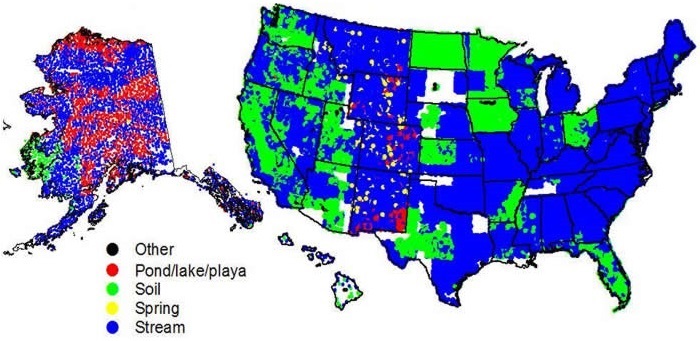
National Geochemical Survey, July 2007

Arkansas Geochemical Survey, July 2007
Sample density, depicted below, is the number of samples within a given area.
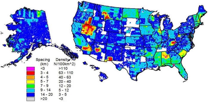
Sample Density of the National Geochemical Survey
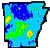
Sample Density in Arkansas of the National Geochemical Survey
A Periodic Table of the Elements displayed below is color coded for those elements for which analyses will eventually be completed (green) and those which will not be analyzed (pink). This chart is posted as an interactive chart on the USGS website.
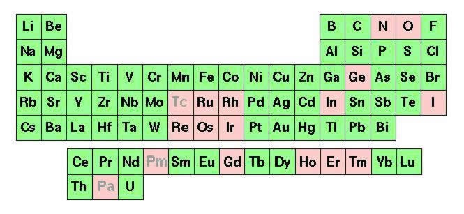
Data quality for elements summarized below is subdivided into the following general groupings: excellent, very good, good, poor, and variable. An explanation of these terms and their derivations is given on the USGS web site at: https://mrdata.usgs.gov/.
For Arkansas, county-by-county elements mean & standard deviation values are available as interactive online maps at:
https://mrdata.usgs.gov/ for the following elements: Aluminum (Al), Arsenic (As), Calcium (Ca), Copper (Cu), Iron (Fe), Lead (Pb), Mercury (Hg), Magnesium (Mg), Manganese (Mn), Phosphorus (P), Selenium (Se), Sodium (Na), Titanium (Ti), and Zinc (Zn). Additional elements will be added to this listing as they become available.
Also, discrete county data for all of Arkansas, along with graphic plots of sample sites, may be viewed or downloaded from the USGS web site at:
https://mrdata.usgs.gov/.
Summary maps with basic analytical and instrumental data are available on the AGS website by clicking each of the following elements:
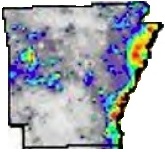
Aluminum (Al)
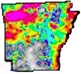
Arsenic (As)
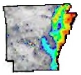
Barium (Ba)
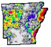
Beryllium (Be)

Aluminum (Al)

Arsenic (As)

Barium (Ba)

Beryllium (Be)
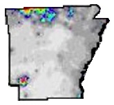
Calcium (Ca)
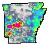
Cerium (Ce)
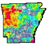
Chromium (Cr)
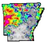
Cobalt (Co)

Calcium (Ca)

Cerium (Ce)

Chromium (Cr)

Cobalt (Co)
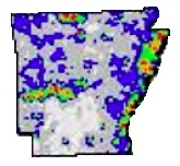
Copper (Cu)
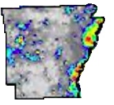
Gallium (Ga)
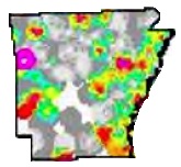
Gold (Au)
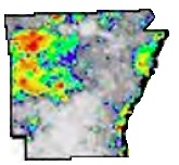
Iron (Fe)

Copper (Cu)

Gallium (Ga)

Gold (Au)

Iron (Fe)
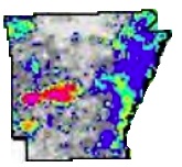
Lanthanum (La)
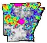
Lead (Pb)
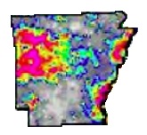
Lithium (Li)
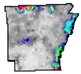
Magnesium (Mg)

Lanthanum (La)

Lead (Pb)

Lithium (Li)

Magnesium (Mg)
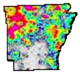
Manganese (Mn)
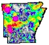
Mercury (Hg)
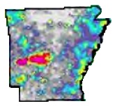
Neodymium (Nd)
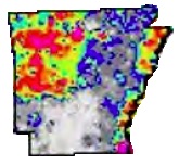
Nickel (Ni)

Manganese (Mn)

Mercury (Hg)

Neodymium (Nd)

Nickel (Ni)
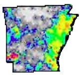
Niobium (Nb)
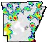
Palladium (Pd)
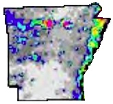
Phosphorus (P)
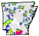
Platinum (Pt)

Niobium (Nb)

Palladium (Pd)

Phosphorus (P)

Platinum (Pt)
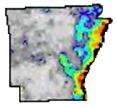
Potassium (K)
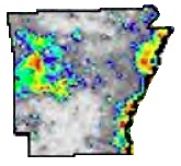
Scandium (Sc)
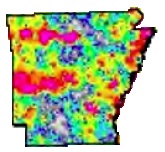
Selenium (Se)
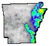
Sodium (Na)

Potassium (K)

Scandium (Sc)

Selenium (Se)

Sodium (Na)
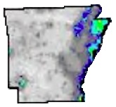
Strontium (Sr)
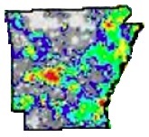
Thorium (Th)
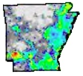
Titanium (Ti)
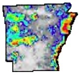
Vanadium (V)

Strontium (Sr)

Thorium (Th)

Titanium (Ti)

Vanadium (V)
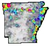
Yttrium (Y)
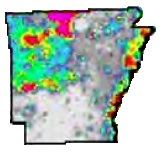
Zinc (Zn)

Yttrium (Y)

Zinc (Zn)
Graphics for this article were downloaded and modified by the author from the USGS web site.
Trace Metals Found in the Bedrock of the Ouachita Mountain Region of Arkansas
This Microsoft Excel® spreadsheet contains the trace concentrations (expressed in ppm) of arsenic, chromium, copper, lead, mercury, nickel, and zinc in over 700 samples collected from the Ouachita Mountain drainage basins of the Little Missouri, Caddo, Ouachita, and Saline rivers. Each sample is located by latitude and longitude and includes a stratigraphic and lithic description. This is the sample set that formed the basis of AGC information-circulars 32 & 35.
![]() Trace Metals found in the bedrock of the Ouachita Mt. Region of Arkansas
Trace Metals found in the bedrock of the Ouachita Mt. Region of Arkansas
Whole-Rock Geochemical Analyses
The Earth Mapping Resources provides support to the State Surveys for geochemical analyses for various critical minerals. Whole-rock analytical geochemical analyses were done by the USGS Geology, Geophysics, and Geochemistry Science Center in Denver, Colorado. Analyses were accomplished for major elements by wavelength dispersive x-ray fluorescence spectrometry (WDXRF) and a 61 element ICP-OES-MS sodium peroxide fusion (ICP-61) package to support minor and trace element analyses, including the rare earth elements.
Geochemical analyses for Batesville Manganese District. Samples in this spreadsheet were collected during field work focusing on the Cason Formation since it
contains phosphate and rare earth elements.
![]() Geochemical analyses for Batesville Manganese District
Geochemical analyses for Batesville Manganese District
Geochemical analyses for three Devonian sandstone samples. Samples in this spreadsheet were collected to examine Devonian units in Arkansas that may contain
phosphate or rare earth elements.
![]() Geochemical analyses for three Devonian sandstone samples
Geochemical analyses for three Devonian sandstone samples
Geochemical analyses for Lead and Zinc District. Samples in this spreadsheet were collected during field work in North Arkansas focusing on units containing Lead and Zinc.
![]() Geochemical analyses for Lead and Zinc District
Geochemical analyses for Lead and Zinc District