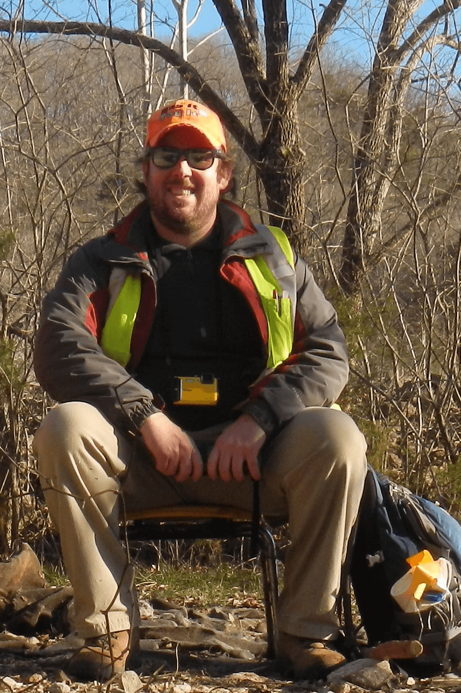
Thomas Liner
Education
B.S. Geology - University of Arkansas
M.S. Geology - University of Arkansas
Biography
Thomas joined the Arkansas Geological Survey in October 2019 as an extra help geologist and assisted with mapping the Batesville Manganese District for the Earth Mapping Resources Initiative (EMRI). In November 2020 Thomas was hired onto STATEMAP where he led the STATEMAP field team for the 2020-2021 and 2021-2022 field seasons. In May 2022 Thomas was hired as a staff geologist and led the STATEMAP field team during the 2022-2023 field season. Thomas is currently leading a field team on a new EMRI mapping project focusing on the critical mineral zinc in the North Arkansas Lead and Zinc Region.
Publications
- Liner, T. J., (2018). Subsurface Analysis of Mississippian Tripolitic Chert in Northwest Arkansas. Graduate Theses and Dissertations Retrieved from https://scholarworks.uark.edu/etd/2968
- Liner, T. J., Prior, W. L., Ausbrooks, S. M., and 2021, Geologic map of the Stuart quadrangle, Fulton and Sharp Counties, Arkansas: Arkansas Geological Survey, Digital Geologic Map, DGM-AR-00832, 1 sheet, 1:24,000.
- Chandler, A.K., Hutto R.S., Liner, T.J., Ausbrooks, S.M., Mills, C.M., and Gist, J.T., 2022, Geologic map of the Batesville Manganese District and surrounding areas with emphasis on the Cason Formation, Independence, Izard, Sharp, and Stone Counties, Arkansas: Arkansas Geological Survey Digital Geologic Map, DGM-AR-BMD-W-001, 1 sheet, 1:24,000.
- Chandler, A.K., Hutto R.S., Liner, T.J., Ausbrooks, S.M., Mills, C.M., and Gist, J.T., 2022, Geologic map of the Batesville Manganese District and surrounding areas with emphasis on the Cason Formation, Independence, Izard, Sharp, and Stone Counties, Arkansas: Arkansas Geological Survey Digital Geologic Map, DGM-AR-BMD-E-002, 1 sheet, 1:24,000.
- Liner, T.J., Ausbrooks, S.M., and Gist, J.T., 2022, Geologic map of the Bethesda quadrangle, Independence, Stone, and Izard Counties, Arkansas: Arkansas Geological Survey, Digital Geologic Map, DGM-AR-00073, 1 sheet, 1:24,000.
- Liner, T.J., Chandler, A.K., Mills, C.M., and Gist J.T., 2022, Geologic map of the Batesville quadrangle, Independence County, Arkansas: Arkansas Geological Survey, Digital Geologic Map, DGM-AR-00057, 1 sheet, 1:24,000.
- Chandler, A.K., Liner, T.J., Gist, J.T., and Mills, C.M., 2022, Geologic map of the Sulphur Rock quadrangle, Independence County, Arkansas: Arkansas Geological Survey, Digital Geologic Map, DGM-AR-00836, 1 sheet, 1:24,000.
- Hutto R.S., Liner, T.J., and Gist, J.T., 2022, Geologic map of the Charlotte quadrangle, Independence County, Arkansas: Arkansas Geological Survey, Digital Geologic Map, DGM-AR-00151, 1 sheet, 1:24,000.
- Liner, T.J., and Ausbrooks, S.M., 2022, Geologic map of the Cave City quadrangle, Independence and Sharp Counties, Arkansas: Arkansas Geological Survey, Digital Geologic Map, DGM-AR-00140, 1 sheet, 1:24,000.
- Chandler, A. K., Mills, C., Liner, T. and Gernhart, C., 2022, Geologic map of the Mount Pleasant quadrangle, Izard, Independence, and Stone Counties, Arkansas: Arkansas Geological Survey, Digital Geologic Map, DGM-AR-00595, 1 sheet, 1:24,000.
- Gist, J.T. and Liner, T.L., 2023, Geologic map of the Strawberry quadrangle, Lawrence, Sharp, and Independence Counties, Arkansas: Arkansas Geological Survey, Digital Geologic Map, DGM-AR-00828, 1 sheet, 1:24,000.
- Liner, T.J., Hutto, R.S., and Gist, J.T., 2023, Geologic map of the Grange quadrangle, Independence and Sharp Counties, Arkansas: Arkansas Geological Survey, Digital Geologic Map, DGM-AR-00343, 1 sheet, 1:24,000.
- Liner, T.J., and Gist, J.T., 2023, Geologic map of the Northwest portion of the Cord quadrangle, Independence County, Arkansas: Arkansas Geological Survey, Digital Geologic Map DGM-AR-00175, 1 sheet, 1:24,000.
- Liner, T.J., and Patton, S.E., 2024, Geologic map of the Northeast District in the North Arkansas Lead and Zinc Region, Sharp and Lawrence Counties, Arkansas: Office of the State Geologist, Digital Geologic Map DGM-AR-LZD-NE-001, 1 sheet, 1:24,000.